RTK drones
Efficient capture with high-accuracy positioning.
Drone photogrammetry
Orthomosaics, three-dimensional models and surfaces for design, inspection and project monitoring.
Drone photogrammetry
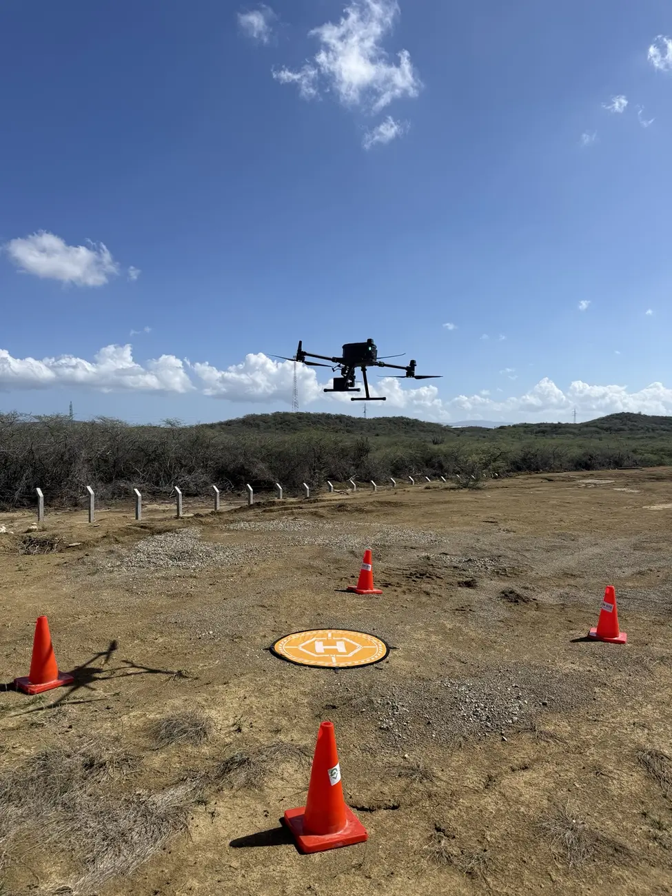
We provide drone photogrammetry to capture georeferenced aerial imagery and transform it into orthomosaics, point clouds, surface models and mapping products. We integrate RTK positioning, ground control and validation when required. The workflow documents large areas, measures visible features and compares construction progress over time.
Request a quotationEfficient capture with high-accuracy positioning.
Orthomosaics, models, contours and quantities.
Objective comparison between survey dates.
Deliverables
Applications
Methodology
Define resolution, overlap, control and operating conditions.
Capture consistent imagery with complete coverage.
Process aerial triangulation and verify control.
Generate orthomosaic, models, quantities and drawings.
Frequently asked questions
Photogrammetry reconstructs visible surfaces from imagery; LiDAR measures laser returns and often performs better for terrain under vegetation. We select the technology based on the objective.
Yes. When the geometry is visible and a suitable base surface exists, we can calculate and document volume.
Yes. Their use and quantity depend on accuracy, area, RTK equipment and project requirements.
Yes. Periodic campaigns compare surfaces, quantities and visible conditions with a consistent method.
Related capabilities
Request a quotation
Send the basic project information and our team will contact you to define scope, deliverables and the next step.