RTK and PPK
Georeferenced positioning and control networks.

Surveying and geomatics
Traceable surveys, stakeout and measurements from initial control through as-built delivery.
Surveying and geomatics
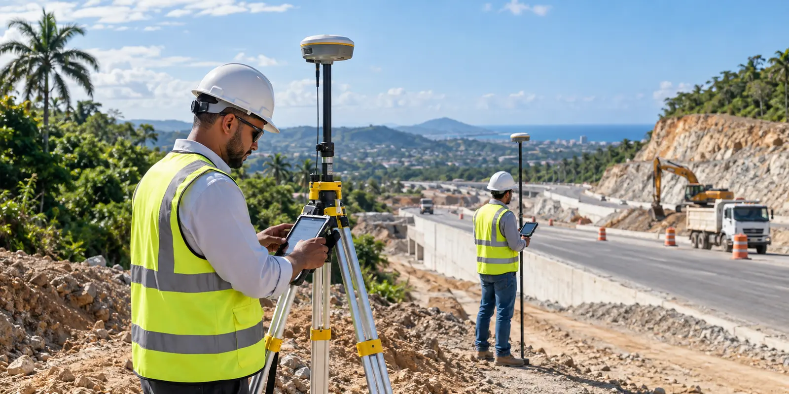
Green Site Engineering provides surveying services throughout the Dominican Republic for design, construction, supervision and quantity control. We integrate GNSS receivers, RTK and PPK workflows, total stations and field controls selected for the required scope and accuracy. The result is clear, verifiable information compatible with civil engineering workflows.
Request a quotationGeoreferenced positioning and control networks.
Stakeout, levels, alignments and geometric verification.
Surfaces, sections, volumes and as-built surveys.
Deliverables
Applications
Methodology
We confirm coordinate systems, tolerances, coverage and deliverables.
We establish or verify survey control and benchmarks.
We capture geometry with the method suited to each site.
We process, verify and deliver drawings, models, coordinates and report.
Frequently asked questions
Yes. Green Site can mobilize survey crews to projects throughout the Dominican Republic.
Yes. We define the required horizontal and vertical reference and document the control used.
Yes. We calculate cut, fill, stockpile and progress volumes from comparable surfaces and field evidence.
Yes. Deliverables can be prepared for CAD, Civil 3D, GIS and other agreed workflows.
Related capabilities
Request a quotation
Send the basic project information and our team will contact you to define scope, deliverables and the next step.