+100 million m²
Accumulated LiDAR survey experience.

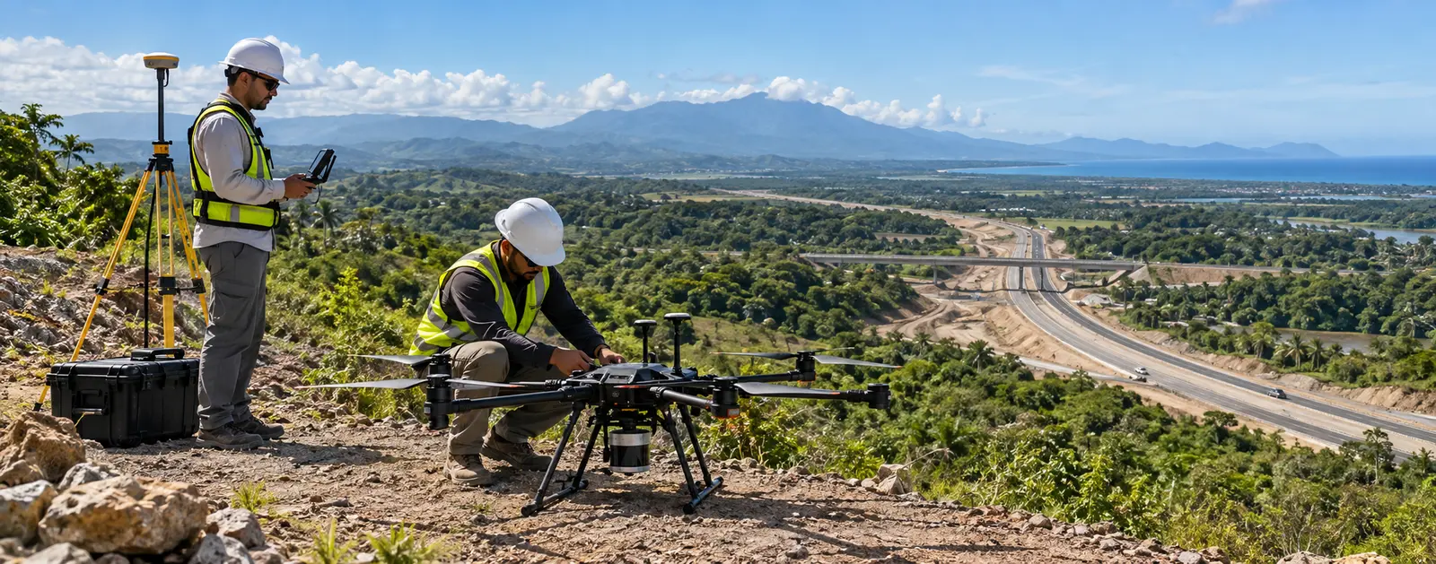
UAV LiDAR
High-density geospatial capture for engineering, territorial planning and infrastructure control.
UAV LiDAR
Green Site Engineering combines UAV LiDAR, GNSS positioning and survey control to document large areas quickly and consistently. Our experience exceeds 100 million square metres and includes complex and vegetated terrain. We process and classify point clouds into practical information for design, hydrology, roads, earthworks and planning.
Request a quotationAccumulated LiDAR survey experience.
Operational capability for projects in any province.
GNSS, validation points and technical documentation.
Deliverables
Applications
Methodology
Define coverage, accuracy, control, safety and flight plan.
Execute LiDAR flights and supporting GNSS observations.
Adjust, classify and verify the point cloud.
Generate engineering products and the control report.
Relevant experience
We have completed LiDAR surveys in Pedernales over polygons totalling more than 6.2 million m². Planning integrated survey control, aerial capture and terrain-model production for technical studies.
Frequently asked questions
Pulses can produce returns through gaps in vegetation. Classification separates ground and vegetation points; results depend on density, coverage and site conditions.
Accuracy depends on flight height, GNSS control, geometry, vegetation and methodology. We define a verifiable criterion before quotation.
Yes. Depending on scope, we deliver LAS or LAZ, models, contours, CAD, GIS and a technical report.
Yes. Our accumulated experience exceeds 100 million m², with logistics planned around area, access and schedule.
Related capabilities
Request a quotation
Send the basic project information and our team will contact you to define scope, deliverables and the next step.