Unmanned operation
Reduced exposure in water bodies and restricted-access areas.
USV bathymetry
Georeferenced depths and bottom models for hydraulic studies, capacity and sedimentation.
USV bathymetry
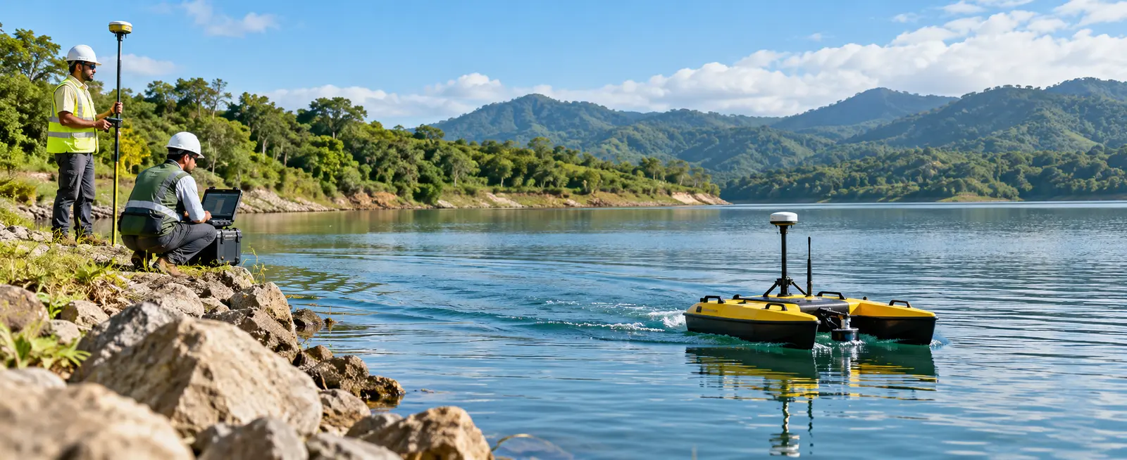
Green Site Engineering performs bathymetric surveys with unmanned surface vehicles (USVs), integrating an echosounder and GNSS positioning. Planned navigation captures georeferenced depths while reducing personnel exposure in difficult-access areas. Data is processed into profiles, bathymetric contours and bottom models for engineering use.
Request a quotationReduced exposure in water bodies and restricted-access areas.
Depth tied to a verifiable position.
Profiles, contours, surfaces and volume analysis.
Deliverables
Applications
Methodology
Assess access, expected depth, obstacles and vertical reference.
Define navigation lines, spacing and coverage controls.
The USV records position and depth along planned lines.
Clean data and generate profiles, contours, surfaces and report.
Frequently asked questions
An unmanned surface vehicle navigates on water while carrying positioning and depth sensors.
Yes, when a compatible reference surface or previous survey exists for comparison.
Yes. We define the horizontal and vertical reference to integrate results with surveying, CAD or GIS.
Feasibility depends on access, waves, current, depth, obstacles and permits. We assess these conditions before mobilization.
Related capabilities
Request a quotation
Send the basic project information and our team will contact you to define scope, deliverables and the next step.