BLK360
High-density terrestrial capture and panoramic coverage.

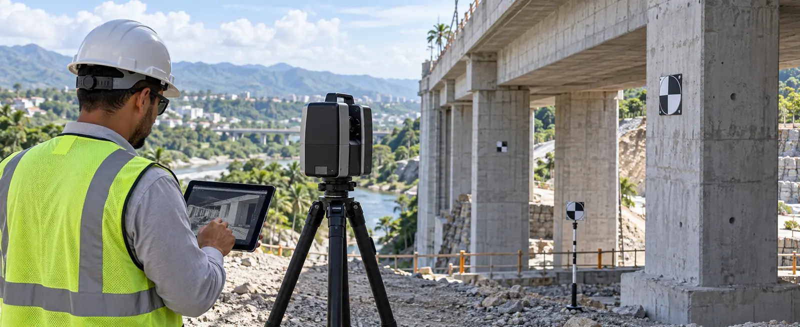
3D laser scanning
Point clouds for documentation, coordination, measurement and analysis of complex geometry.
3D laser scanning
We use terrestrial laser scanning to capture millions of points on visible surfaces and document existing geometry in detail. BLK360 data can be integrated with survey control and processed for measurement, drawings, coordination and modelling. It is particularly valuable when complexity or the number of elements makes conventional point-by-point measurement inefficient.
Request a quotationHigh-density terrestrial capture and panoramic coverage.
A measurable 3D record of existing conditions.
Compatibility with CAD, BIM and geometric analysis workflows.
Deliverables
Applications
Methodology
Define coverage, stations, control and detail level.
Capture each position with sufficient overlap.
Align, control and clean the point cloud.
Produce the specified files, drawings or analysis.
Frequently asked questions
We use a BLK360 terrestrial scanner and integrate survey control when required.
The point cloud is a basis for modelling. Required level of development and modelled elements must be defined in the scope.
No. It records surfaces visible from each station, so multiple positions are planned to reduce occlusions.
We can compare geometry and surfaces when an appropriate reference exists and the required precision is compatible with the method.
Related capabilities
Request a quotation
Send the basic project information and our team will contact you to define scope, deliverables and the next step.