Surveying division

Precise measurements.
Reliable information.

We integrate surveying, LiDAR, drone photogrammetry, USV bathymetry and 3D laser scanning. Our experience exceeds 100 million m² surveyed using LiDAR technology.

Technical services

Measure precisely. Decide with confidence.

We integrate surveying, LiDAR, drone photogrammetry, USV bathymetry and 3D laser scanning. Our experience exceeds 100 million m² surveyed using LiDAR technology.

Surveying and geomatics

01 · Surveying service

Surveying and geomatics

A reliable geometric basis for every project.

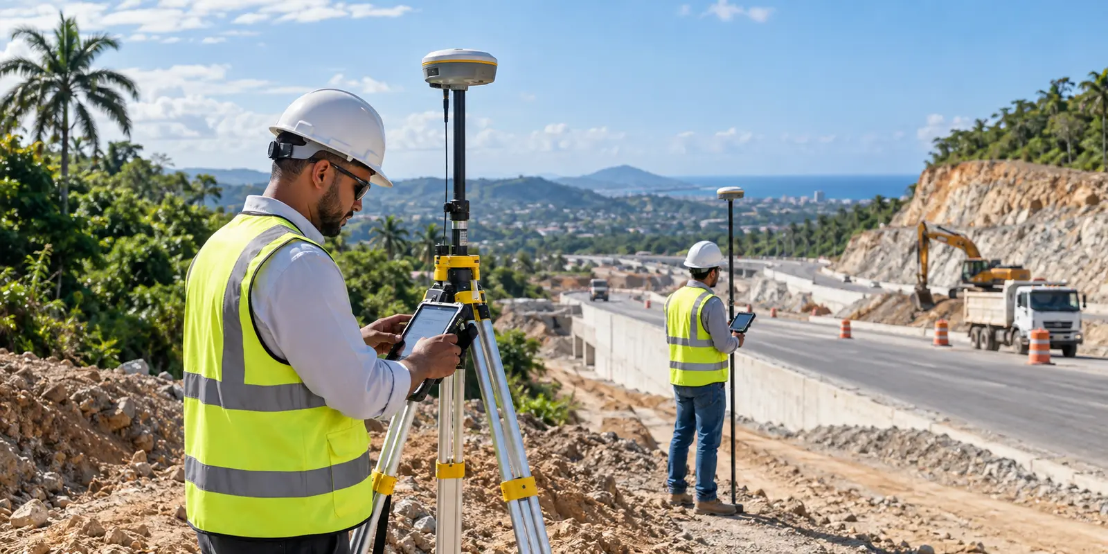
Green Site Engineering provides surveying services throughout the Dominican Republic for design, construction, supervision and quantity control. We integrate GNSS receivers, RTK and PPK workflows, total stations and field controls selected for the required scope and accuracy. The result is clear, verifiable information compatible with civil engineering workflows.

  • Topographic plans with contours and existing features
  • Coordinates, elevations, benchmarks and control report
  • Digital terrain models, profiles and cross sections
UAV LiDAR

02 · Surveying service

UAV LiDAR

More than 100 million m² surveyed with LiDAR technology.

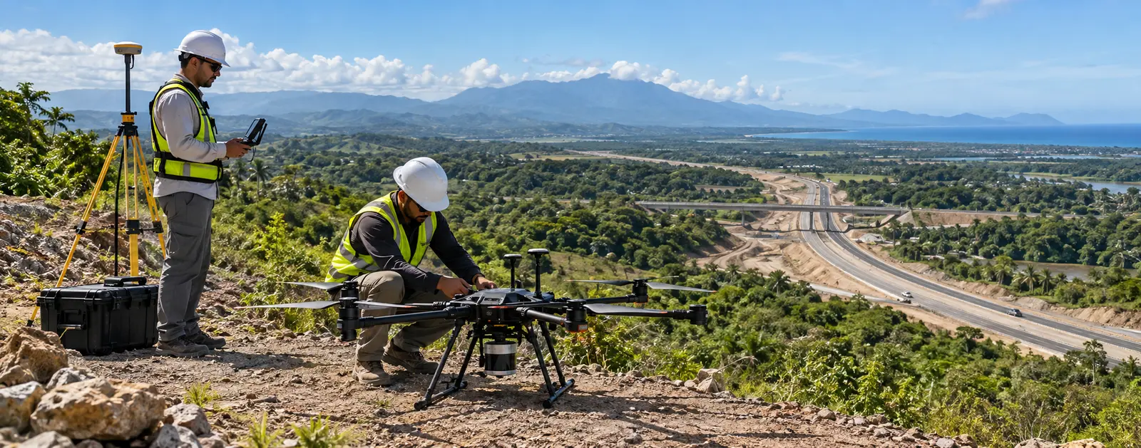
Green Site Engineering combines UAV LiDAR, GNSS positioning and survey control to document large areas quickly and consistently. Our experience exceeds 100 million square metres and includes complex and vegetated terrain. We process and classify point clouds into practical information for design, hydrology, roads, earthworks and planning.

  • Georeferenced, classified and cleaned point cloud
  • Digital terrain model (DTM) and digital surface model (DSM)
  • Contours, hillshade and elevation maps
Drone photogrammetry

03 · Surveying service

Drone photogrammetry

Accurate, documented aerial coverage for engineering.

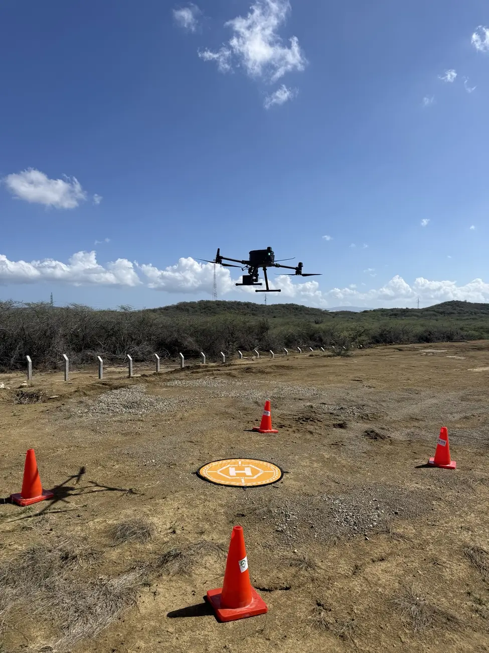
We provide drone photogrammetry to capture georeferenced aerial imagery and transform it into orthomosaics, point clouds, surface models and mapping products. We integrate RTK positioning, ground control and validation when required. The workflow documents large areas, measures visible features and compares construction progress over time.

  • High-resolution georeferenced orthomosaic
  • Photogrammetric point cloud and three-dimensional model
  • Digital surface model and contours
USV bathymetry

04 · Surveying service

USV bathymetry

An integrated navigation, depth and positioning system.

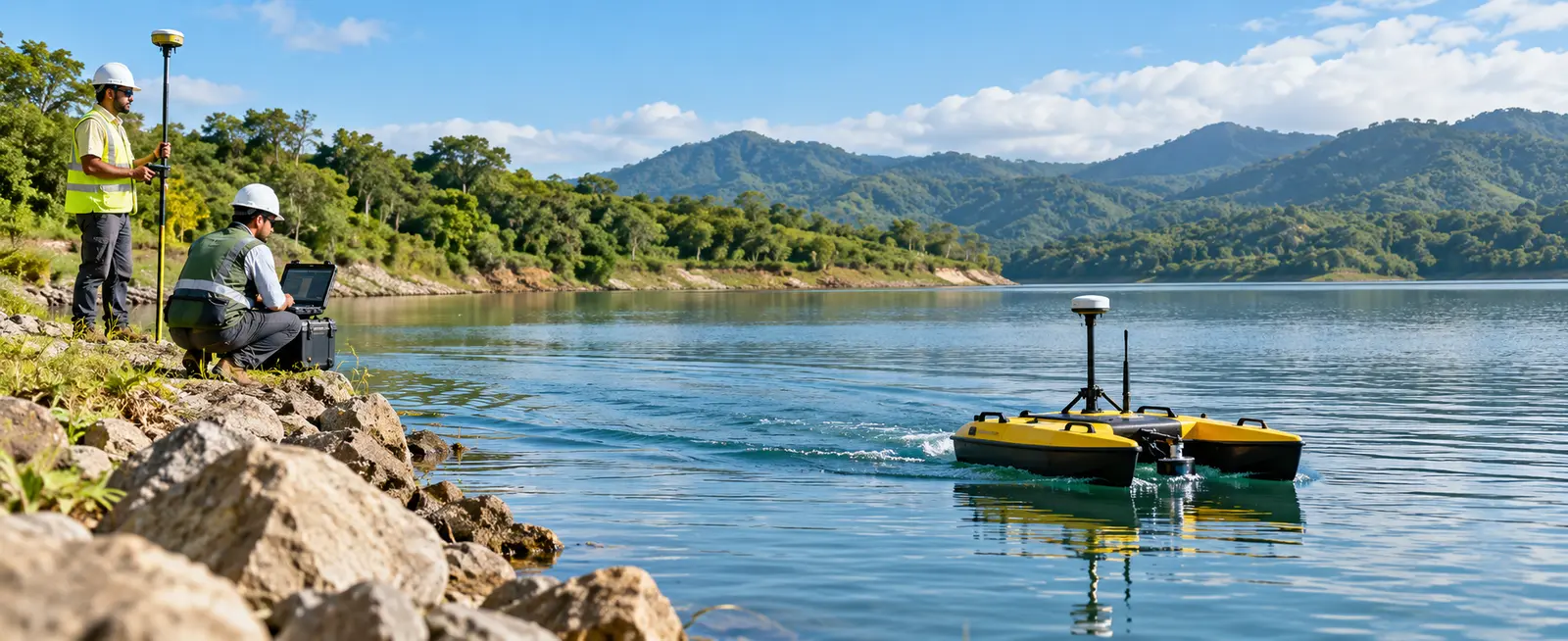
Green Site Engineering performs bathymetric surveys with unmanned surface vehicles (USVs), integrating an echosounder and GNSS positioning. Planned navigation captures georeferenced depths while reducing personnel exposure in difficult-access areas. Data is processed into profiles, bathymetric contours and bottom models for engineering use.

  • Georeferenced depth points
  • Longitudinal and transverse profiles
  • Bathymetric contours and digital bottom model
3D laser scanning

05 · Surveying service

3D laser scanning

Fast, dense and measurable three-dimensional documentation.

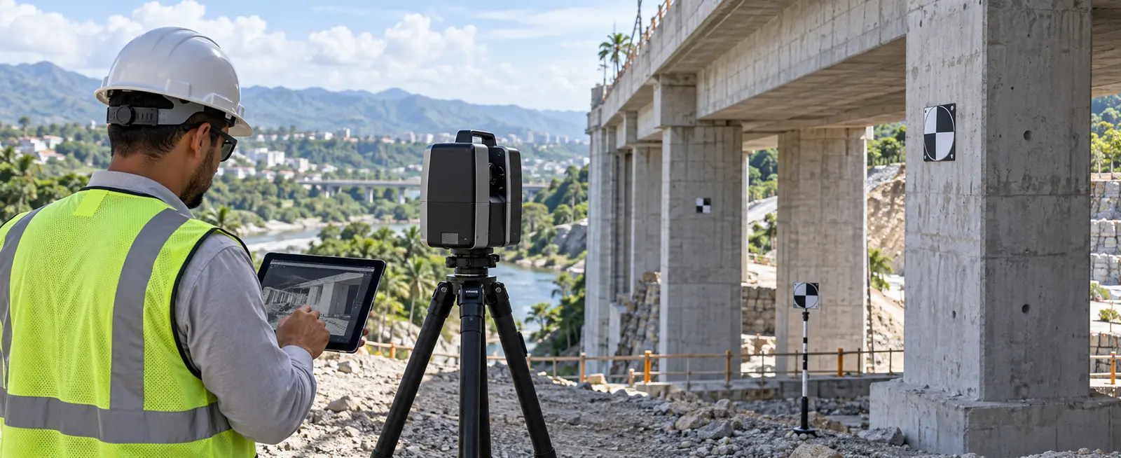
We use terrestrial laser scanning to capture millions of points on visible surfaces and document existing geometry in detail. BLK360 data can be integrated with survey control and processed for measurement, drawings, coordination and modelling. It is particularly valuable when complexity or the number of elements makes conventional point-by-point measurement inefficient.

  • Registered and cleaned point cloud
  • Panoramic views and visual documentation
  • Derived plans, elevations and sections

Next step

Tell us about your project and required technical scope.

Start a conversation